
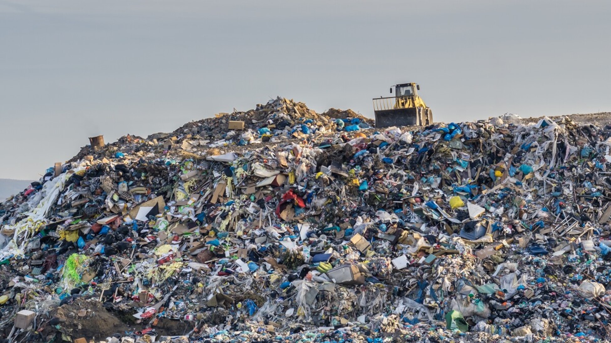

In 2021, the University of Colorado found that the average landfill size in the United States is 600 acres. By their estimates, 3000 present, active landfills constituted 1.8 million acres of land (Vasarhelyi, 2021). Although this is merely an insignificant portion of the 2.26 billion acres that make up the United States, landfills account for a large portion of methane (CH4) emissions (USDA, 2025). The EPA reports that in 2021, there were 122 MMT CO2e of methane emitted from landfills. For an industry that occupies less than 1% of the USA, it is responsible for almost 17% of the nation’s methane emissions for that year (EPA, 2024).
Source: KUNR
Methane is a powerful greenhouse gas (GHG) that more efficiently traps heat in the atmosphere than carbon dioxide (CO2) and has a global warming potential (GWP) of 28. The EPA accounts for factors such as how long the gas remains in the atmosphere, how much energy it can absorb, and other atmospheric chemistry effects to determine the GWP. Due to the impact methane has on our climate, it is important to accurately quantify the contribution landfills are having on emissions.
Although the EPA provides a fair estimate of what methane emissions are in the country, some of the methodology used to derive these numbers for landfills can be considered outdated. In a March 2024 study, Carbon Mapper, a non-profit emissions organization, used airborne imagery to demonstrate that there are inconsistencies between the measured results from the mission and the published numbers from the EPA in their Greenhouse Gas Reporting Program. In fact, on average, the aerial emission rates from the facilities were 1.4 times higher than EPA reports (Carbon Mapper, 2024). This project reveals the necessity for discerning true methane emissions for landfills, as current evidence suggests they are higher than present estimates. Governments need reliably measured data to accurately assess and implement changes for landfills.
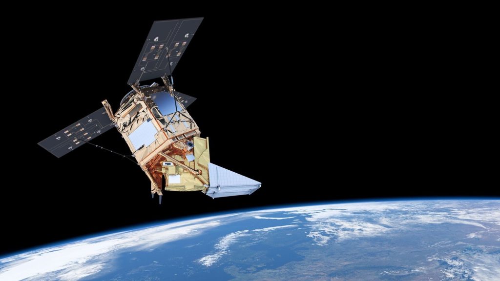
Source: European Space Agency
Utilizing a satellite-based methodology, Floodlight can measure methane emissions originating from landfills. With coverage dating back to 2018, an accurate timeseries of emissions data can be derived for locations worldwide. Floodlight aims to maintain the highest quality of results by employing models that assess atmospheric dispersion. Additionally, a rigorous quality assurance process is applied to all steps in each and every project. Overall, the GHG impact from landfills is significant; Floodlight aims to navigate the process of emissions quantification and reduction with the best quality data.
Sources:
Carbon Mapper. (2024). Study finds landfill point source emissions have an outsized impact and opportunity to tackle U.S. waste methane. https://carbonmapper.org/articles/studyfinds-landfill
EPA (2024) Inventory of U.S. Greenhouse Gas Emissions and Sinks: 1990-2022. U.S. Environmental Protection Agency, EPA 430-R-24-004. https://www.epa.gov/ghgemissions/inventory-us-greenhouse-gas-emissions-andsinks-1990-2022.
U.S. Department of Agriculture. (2025). Land use, land value & tenure—major land uses. Economic Research Service. https://www.ers.usda.gov/topics/farm-economy/land-use-land-value-tenure/major-land-uses.
Vasarhelyi, K. (2021). The hidden damage of landfills. Environmental Center, University of Colorado. https://www.colorado.edu/ecenter/2021/04/15/hidden-damage-landfills

